
A postcard serves as the primary interface to send historic photos to residents’ phones as part of a street festival.
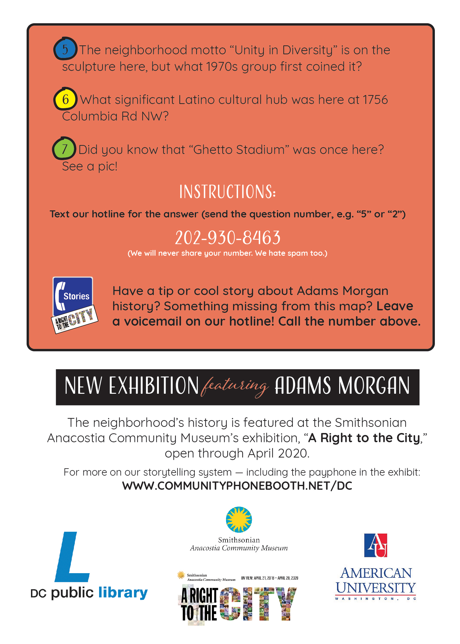
We picked seven fascinating history insights about the Adams Morgan Neighborhood in DC, and hid them in this map. The answer to each can be sent to your cellphone, with a carefully chosen image from the archives. The clues and images were chosen in partnership with Smithsonian Anacostia Community Museum, and draw on collections of the DC Public Library.
To get started, text “ABOUT” to (202) 930-8463.
Or pick a specific history question by viewing the postcard, or find them at local businesses in Adams Morgan.
For the museum, the chance to bring stories of neighborhood organizing and activism from the “A Right to the City” exhibition to the festival is one way to continue its five decades of community-building work.
Thanks to Carolyn Thaw for postcard graphic design; she is also behind the map that covers the Humanities Truck.
Built with Hive Mechanic.